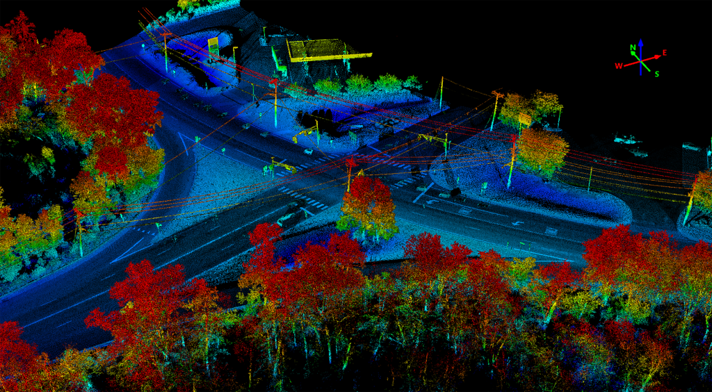
New Jersey traffic conditions vary widely depending on location, time of day, and numerous factors. Some areas are known for heavy traffic congestion, especially during rush hours in urban and suburban areas, and in some cases, based on the season. The state is densely populated, and several key highways and roadways connect major cities and towns. Road conditions can also present challenges. All these factors can lead to traffic accidents.
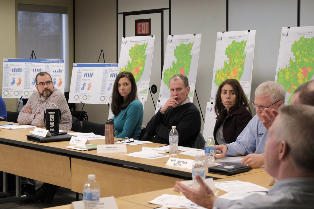
The New Jersey Department of Transportation (NJDOT) monitors crash data and uses it to identify locations in need of improvements and in the development of grant applications, resource allocation, and statistical analysis. NJDOT’s Bureau of Transportation Data and Safety receives an average of 320,000 crash reports per year. With an abundance of available data, analysts need a quick and easy visual perspective tool for their data-driven crash analysis and safety programs.
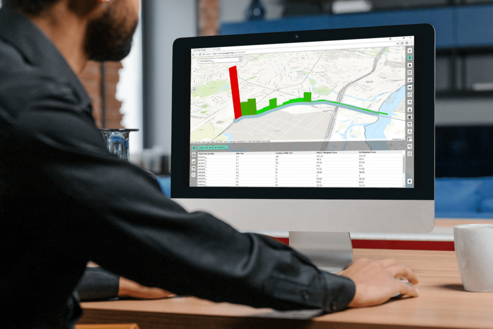
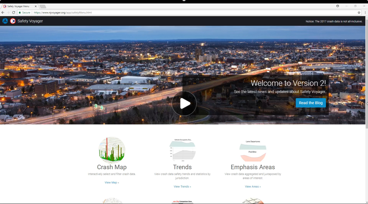
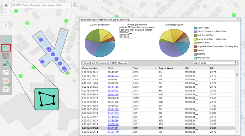
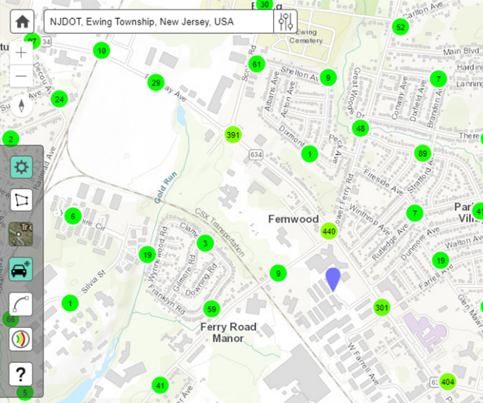
GPI collaborated with the Federal Highway Administration and NJDOT to develop Safety Voyager, a secure cloud-based crash mapping portal. It visually displays traffic crashes, annual average daily traffic data, and ball-bank information, combining spatial and non-spatial data for crash analysis on a map interface. The application has over 500 users from government and private firms, offering intuitive features for analyzing crashes at intersections, municipalities, and state routes. It allows filtering based on various attributes and enables exporting records for further analysis. Data is hosted on Amazon Web Services, accessed through secure web services written in JavaScript using the Mapbox API.
Project Highlights
-
Owner/ClientNew Jersey Department of Transportation
-
LocationStatewide
-
ServicesSoftware Development

Ranked #25 in the Top Transportation Firms by Engineering News Record Magazine
The ENR (Engineering News-Record) Top 100 Professional Services Firms is an annual ranking of the top firms in the professional services sector that provide design services for transportation-related projects such as highways, bridges, airports, railways, and transit systems.
