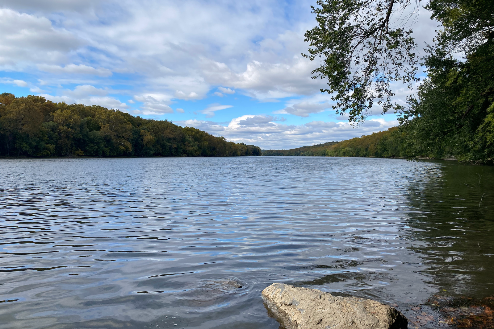
The Chesapeake and Ohio (C&O) Canal, constructed between 1828 and 1850, runs 184 miles along the Potomac River from Cumberland, MD, to Washington, DC, and was primarily used to transport coal and other goods to the Capitol.
Ultimately the railroad replaced the canal, which was abandoned until it was designated as a historic monument in 1961. Today, the Chesapeake and Ohio Canal National Historical Park treats visitors to various recreational and educational activities.
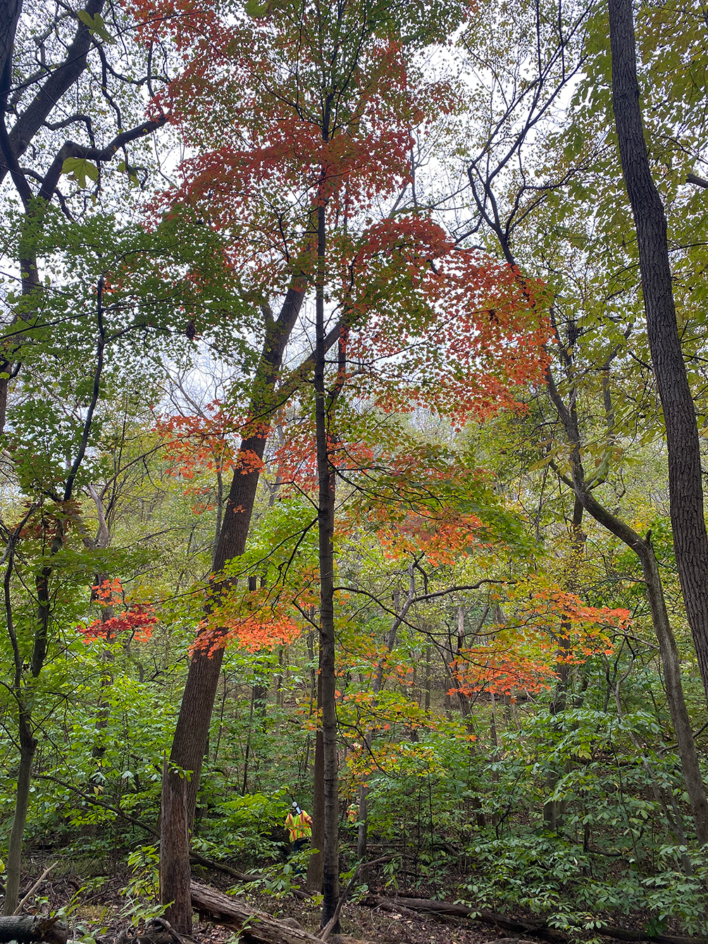
Over the years, the park has grown as the National Park Service acquired parcels from nearby landowners. The park is surrounded by public and private land and contains areas that are rural and, in some cases, have not been surveyed since the early 1800s. Suspecting that private landowners may be infringing on park property, the National Park Service issued a Request for Quotation seeking surveying services to recover and re-establish the boundaries of current Federal land ownership.
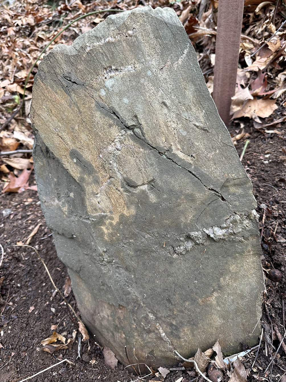
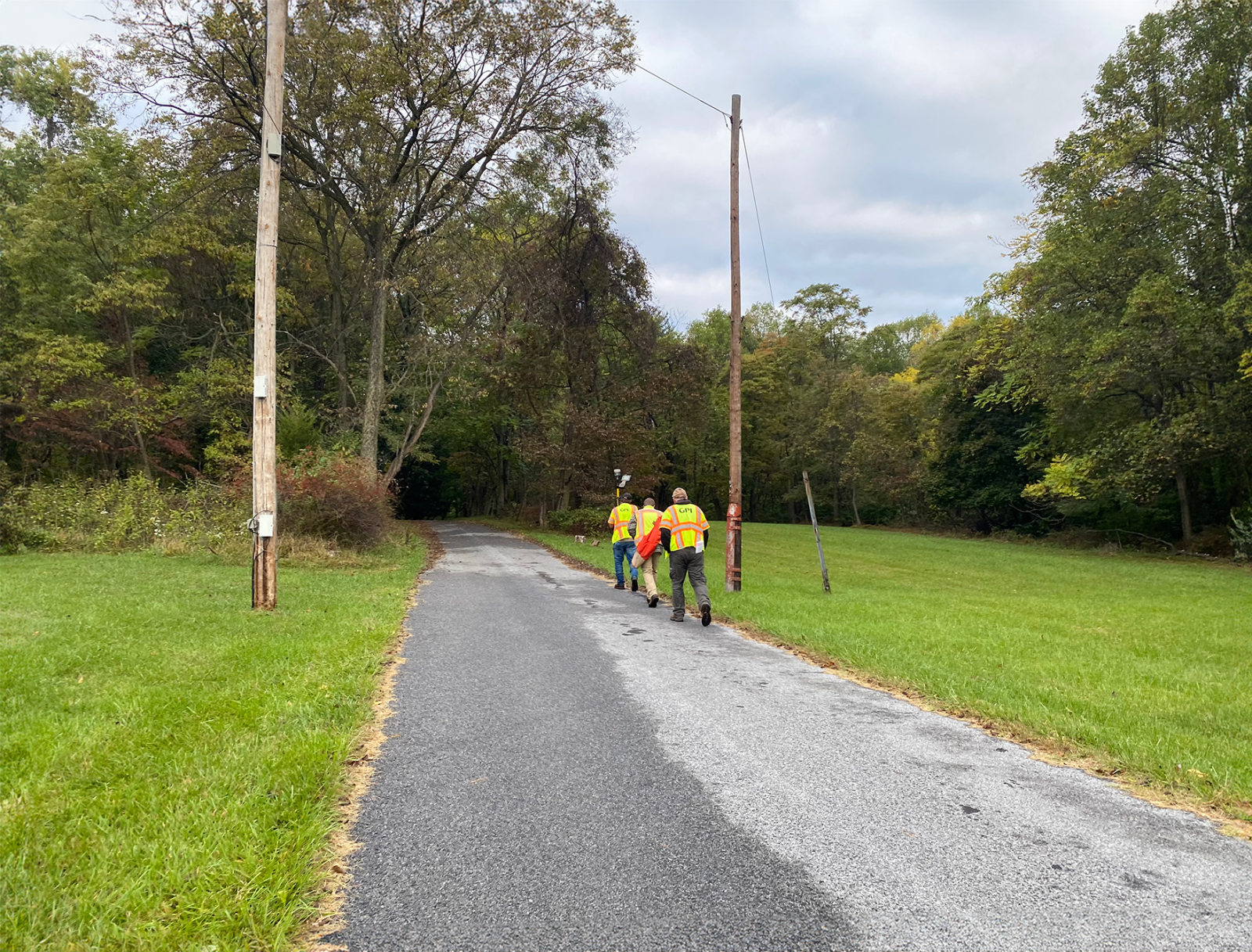
GPI currently provides surveying services for the park, including reviewing existing boundary evidence, documenting, and mapping encroachments and conflicting boundary monuments, recovering, or setting corner monuments, and updating county land records.
Project Highlights
-
Owner/ClientNational Park Service
-
LocationMaryland Statewide
-
ServicesBoundary Survey
Survey


Ranked in the Top 100 Professional Services Firms
The ENR (Engineering News-Record) Top 100 Professional Services Firms is an annual ranking of the top firms in the professional services sector within the construction and engineering industry. Being recognized as an ENR Top 100 Professional Service firm signifies a company’s excellence, credibility, and competitiveness within the construction and engineering industry.
