Rockingham Planning Commission (RPC) and New Hampshire Seacoast Greenway Alliance (NHSGA) began to plan and develop support to transform an abandoned railroad corridor into a modern, multi-use trail.
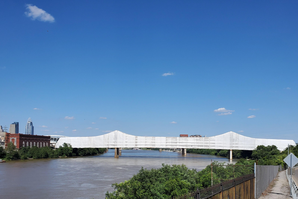
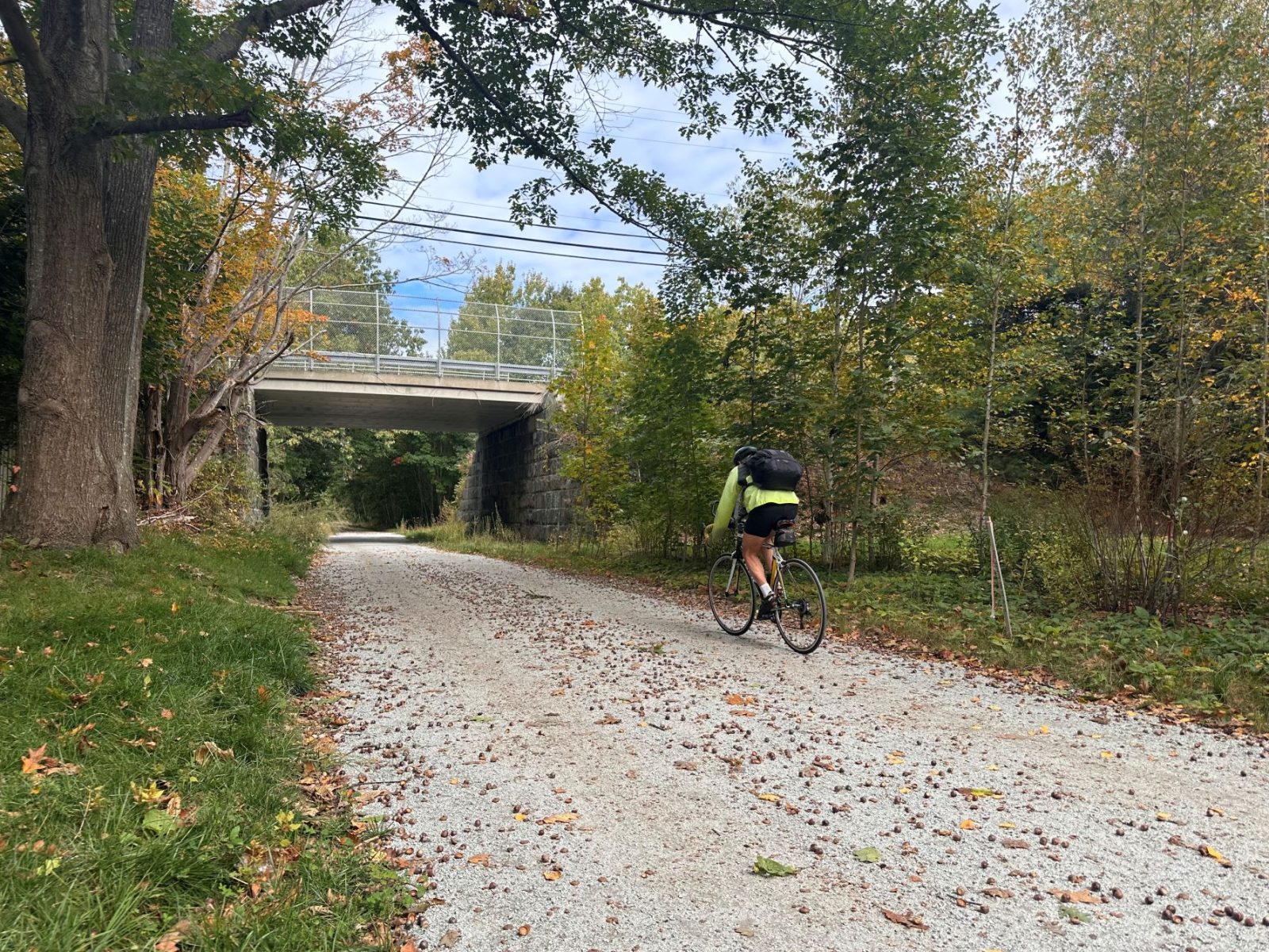
The trail became part of a 3,000-mile, off-road, multi-use path spanning from Calais, Maine to Key West, Florida. The final New Hampshire Seacoast Greenway (NHSG) stretches 17 miles along the abandoned Eastern Division of the Boston and Maine Railroad corridor. Upon New Hampshire Department of Transportation (NHDOT)’s purchase of the last 9.6 miles of railroad corridor from Pan Am Railways, GPI was selected to survey and design a rail trail for the property.
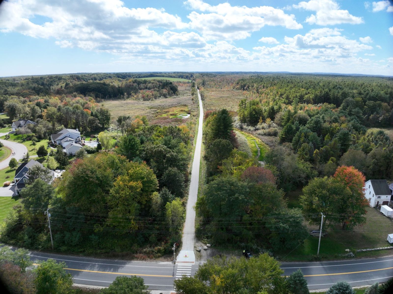
Utilizing a combination of publicly available LiDAR, high-definition unmanned aerial system (UAS) imagery and LiDAR flown by GPI, on-site field reviews using ArcGIS, a 360-degree camera attached to a bike helmet, and supplemental on-ground traditional survey to create a comprehensive video of the existing rail corridor and produce a base map. These tools gave the project team the information needed to design the trail properly, saved taxpayer dollars, and allowed for an accelerated design schedule.
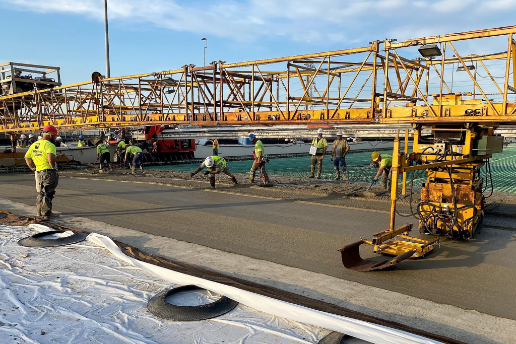
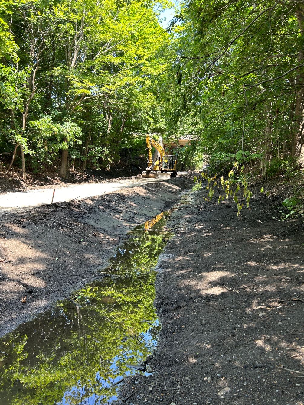
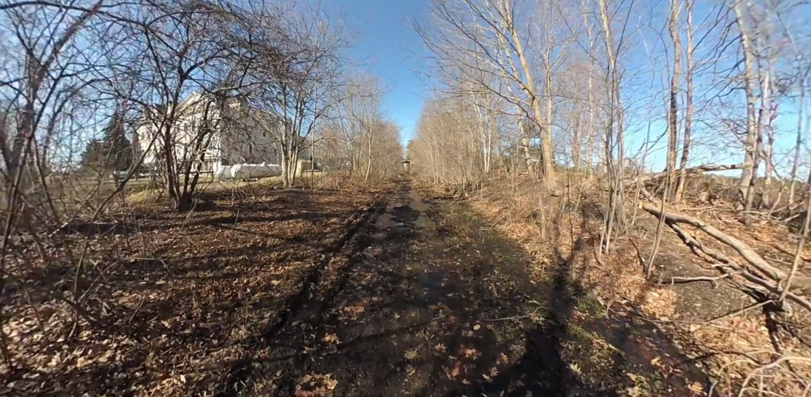
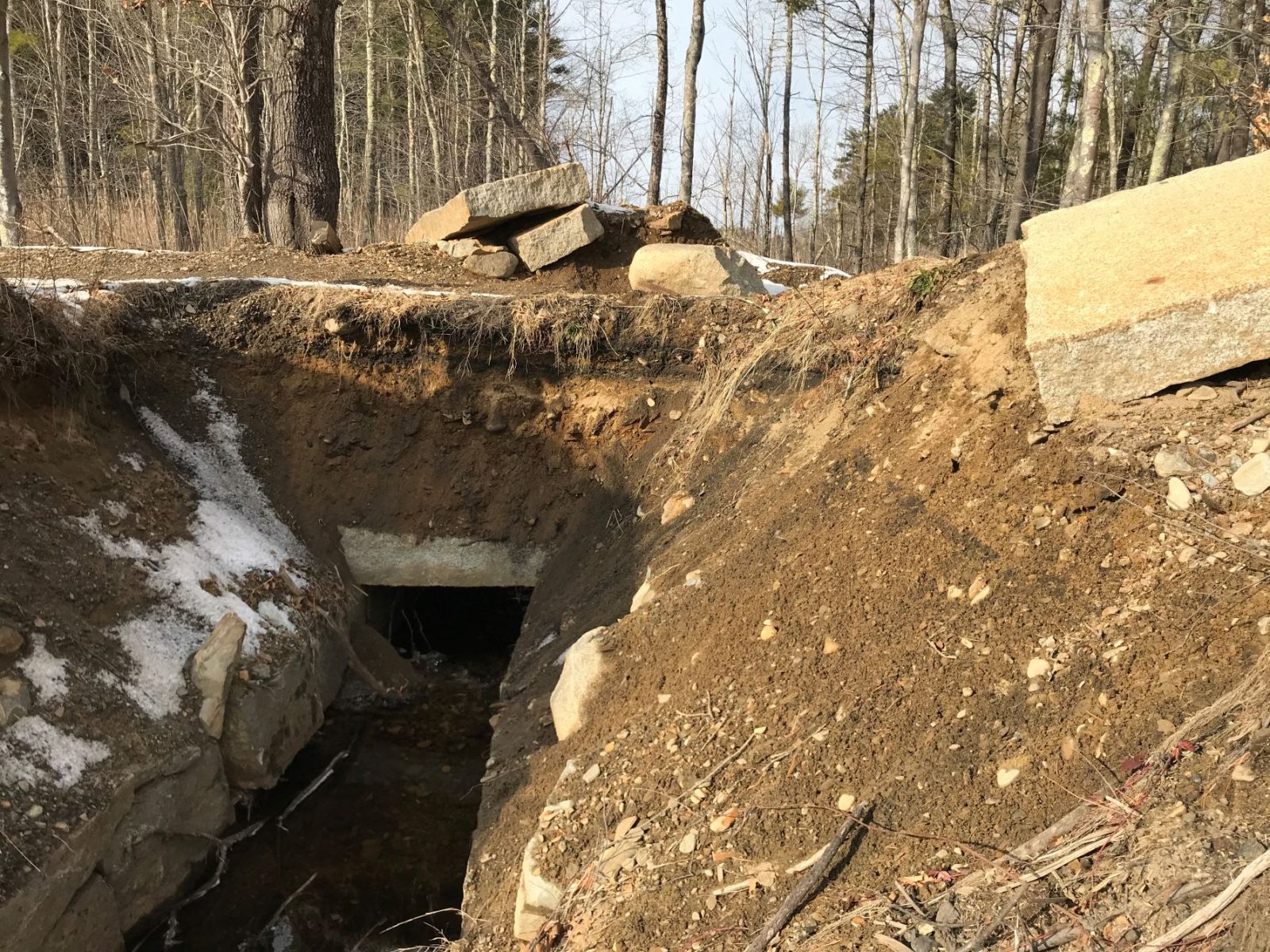
The abandoned state of the corridor presented unique challenges, with some areas transformed into jurisdictional wetlands, sediment buildup in flat ditches, clogged culverts, and rising wetland water levels. GPI reduced impacts to wetlands by including trail shifts and raising the railbed using gravel instead of excavating deeper drainage ditches. In some locations, the trail could not be raised due to negative impacts on the flood plain, leading to specially designed ditches provided to alleviate flooding during a significant rain event. Other challenges included poorly defined property boundaries, with structures, storage property and unauthorized access points encroaching into the corridor, along with trees and vegetation invading the rail lines.
The railroad corridor is considered a linear historic district that is eligible for listing on the National Register, and all designs, including surface features, retained their historic character in consultation with NHDOT, FHWA, and NHDHR. To ensure safety, improvements were made at four at-grade crossings with busy roadways, and upon completion of the project, excavated material was reused on-site to prevent the spread of contamination.
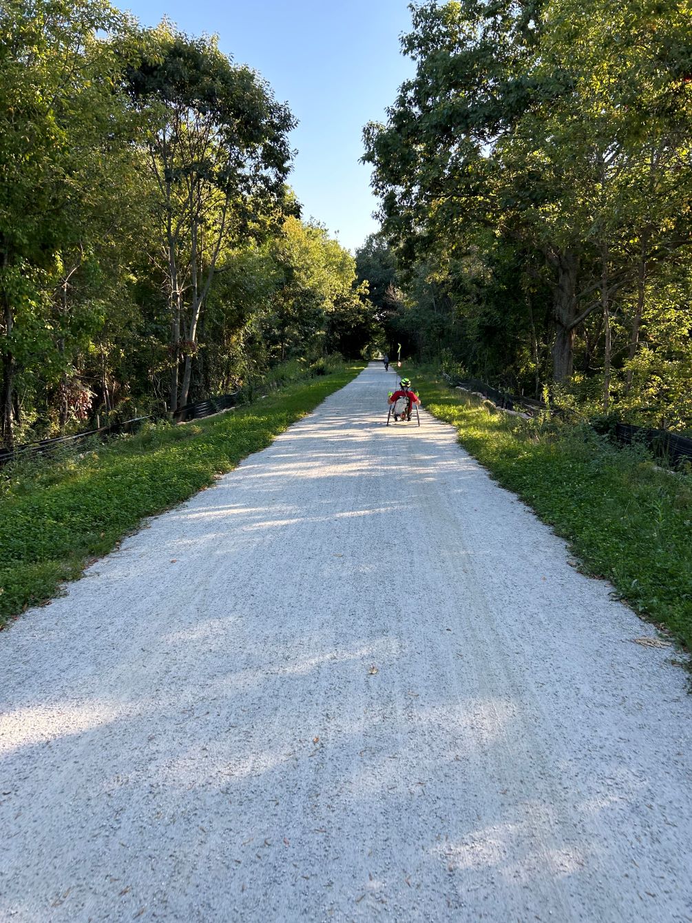
The NHSG trail now connects four municipalities and encourages people to be active along a naturally beautiful greenway.
Project Highlights
-
Owner/ClientNew Hampshire Department of Transportation (NHDOT)
-
LocationNorth Hampton, NH - Portsmouth, NH
-
ServicesBridge Rehabilitation
Drainage Design
Stakeholder and Community Engagement
Survey
Topography
Trail Engineering

Ranked in the Top 100 Professional Services Firms
The ENR (Engineering News-Record) Top 100 Professional Services Firms is an annual ranking of the top firms in the professional services sector within the construction and engineering industry. Being recognized as an ENR Top 100 Professional Service firm signifies a company’s excellence, credibility, and competitiveness within the construction and engineering industry.