The Route 27 (North Main St.) over Route 9 (Worcester St.) Interchange in Natick, MA, has been in place since 1931.
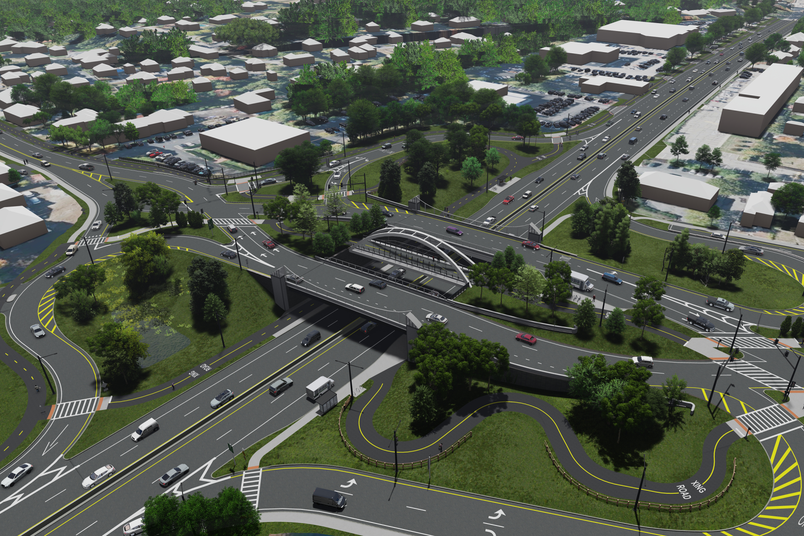
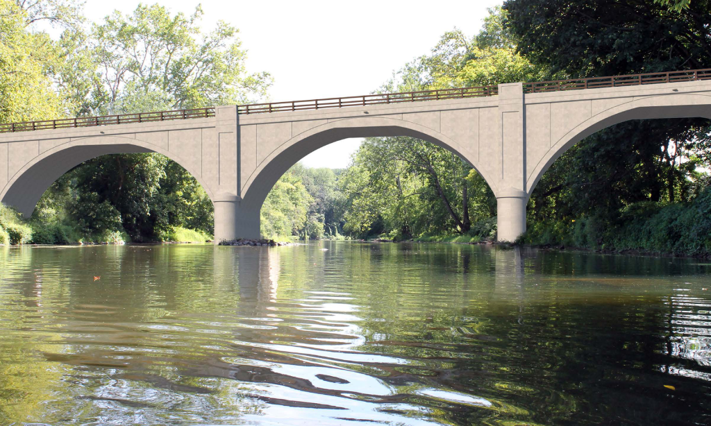
Route 27 is a two-lane roadway north and south orientation with a posted speed limit of 30 mph. Parts are under the jurisdiction of the Massachusetts Department of Transportation (MassDOT) and parts under the jurisdiction of the Town of Natick. Route 9 is a four-lane divided roadway east and west orientation. It is under the jurisdiction of the MassDOT and is part of the National Highway System (NHS). The posted speed limit along Route 9 is 50 mph. The average daily traffic is approximately 65,000 along Route 9 and 23,000 along Route 27. The ramps at the interchange process approximately 30,000 vehicles a day. With that level of congestion, the interchange is also a high-accident area, particularly along the on-ramps to Route 9. It lacks pedestrian and bicycle accommodations and has fragmented sidewalks and substandard deceleration/acceleration lanes along Route 9. The bridge carrying Route 27 over Route 9 is structurally deficient and requires replacement.
MassDOT engaged a consultant to create a preliminary 25% design and host a public hearing. Feedback from that hearing prompted MassDOT to seek an independent review of the design project. The main aim of the project is to replace the aging Route 27 bridge over Route 9 and improve the interchange for enhanced safety, mobility, and congestion relief.
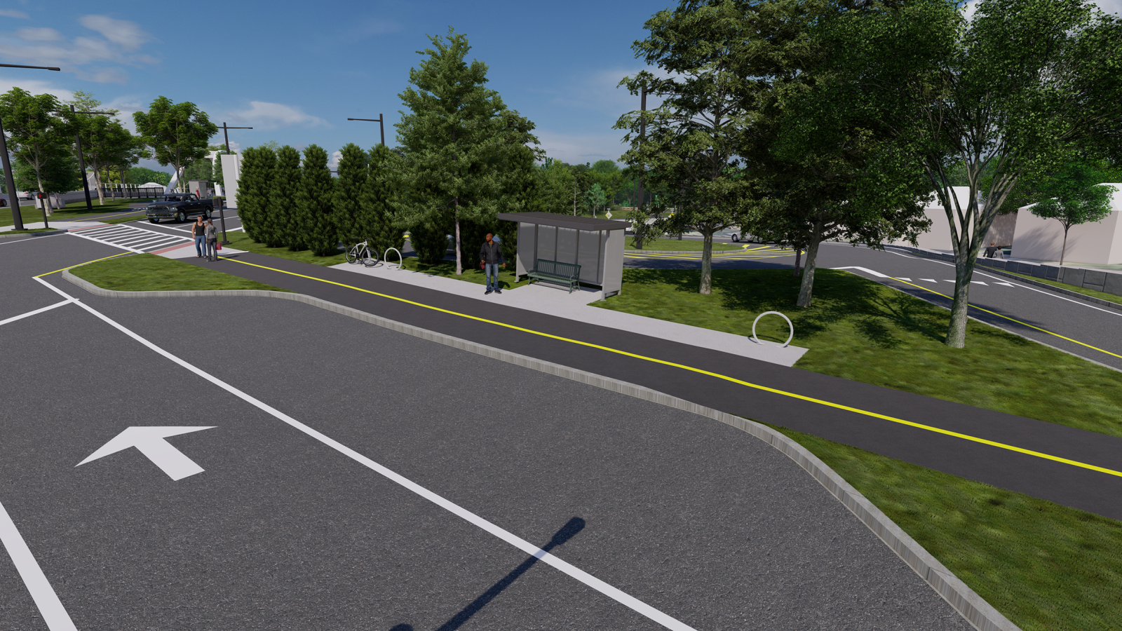
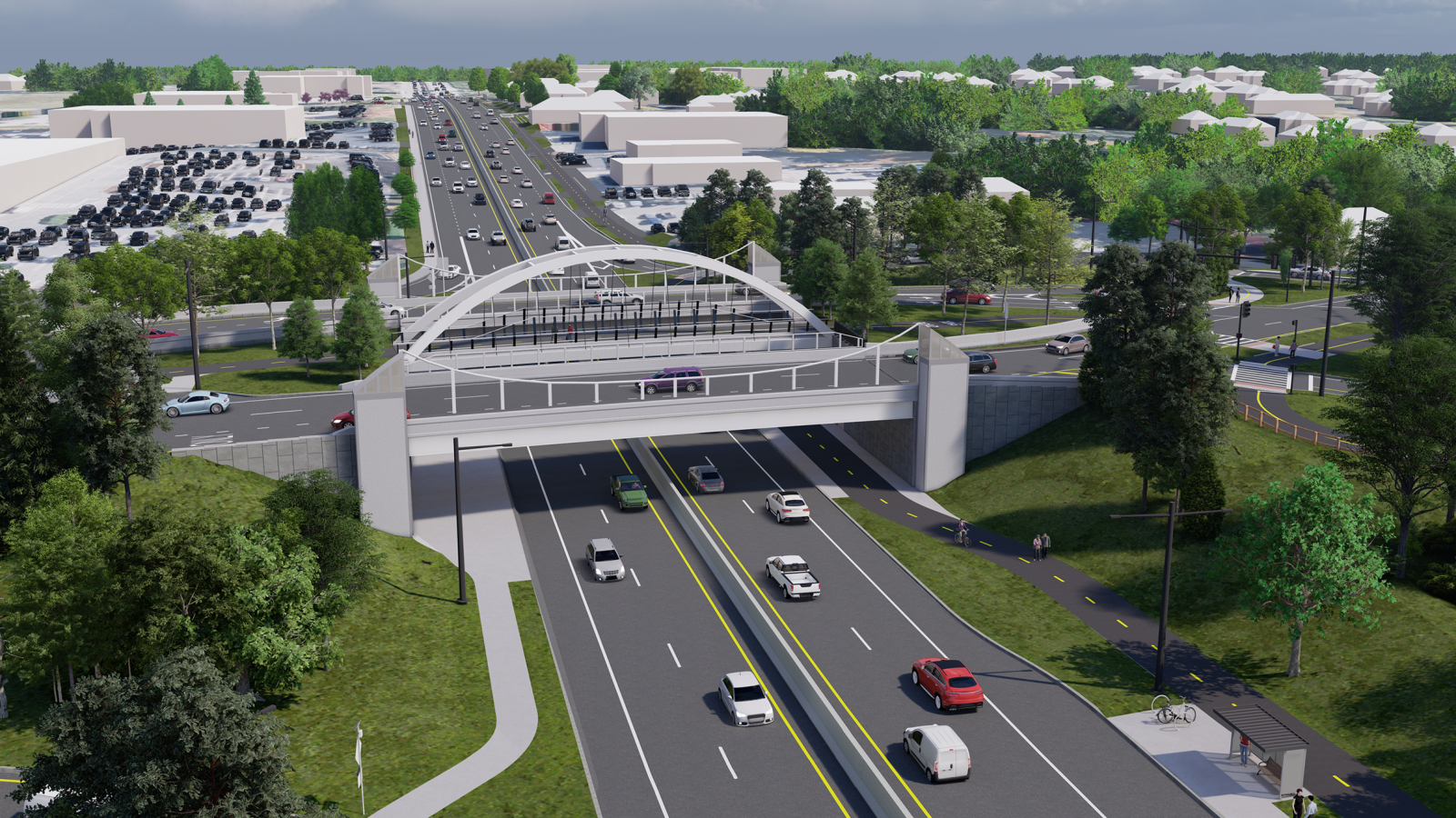
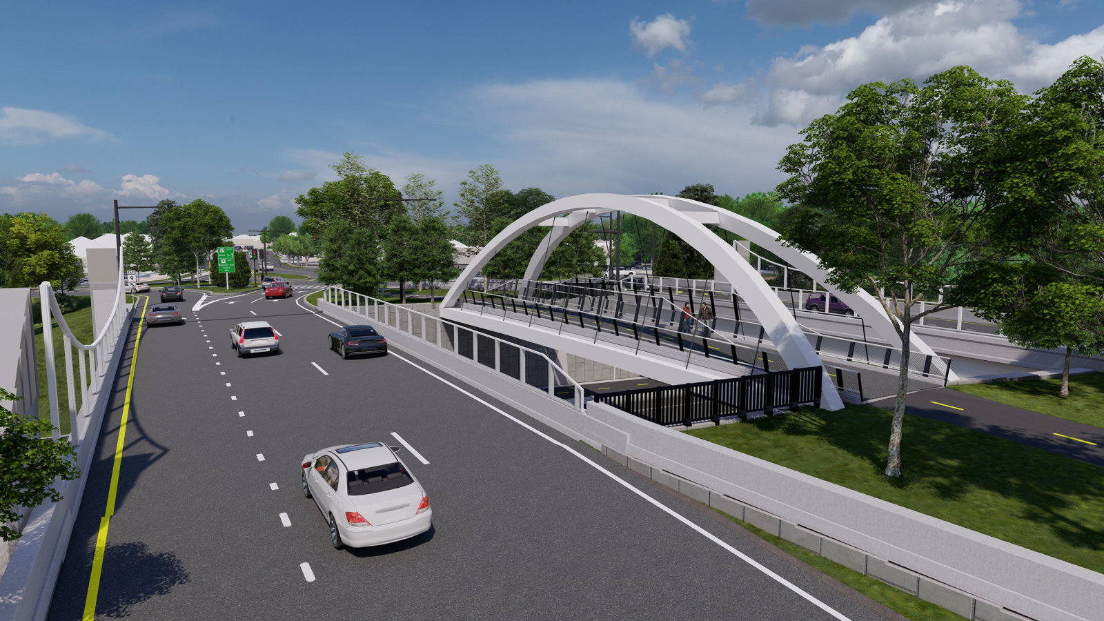
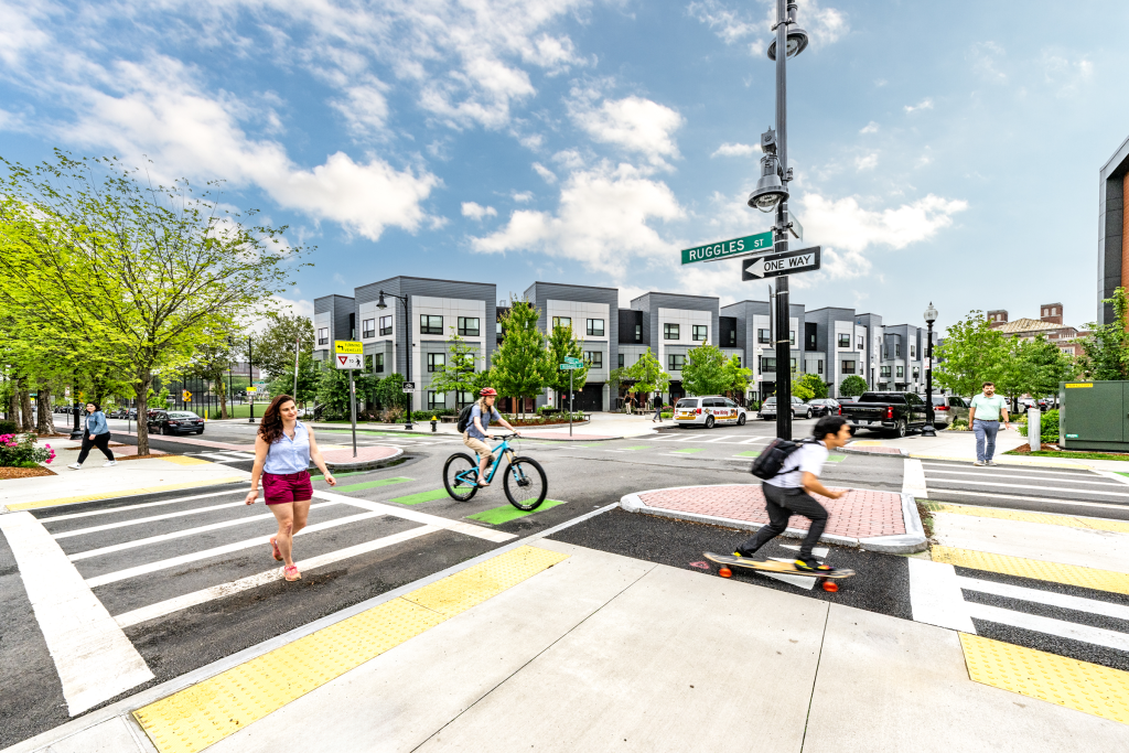
GPI thoroughly reviewed the project. After assessing traffic volumes and exploring options, GPI developed two conceptual alternatives and presented them to town staff and the regional transit authority. The proposed plans include traffic signals, crosswalks with flashing lights, shared-use paths for bikes and pedestrians, and bus stops. GPI’s analysis considered upgrading the existing three-quadrant cloverleaf interchange to better serve pedestrians, bicyclists, transit users, and motorists. The two alternatives involved multilane roundabouts at on/off ramps and a modified diverging diamond interchange (DDI) configuration. Due to the project’s complexity, extensive traffic analysis and modeling, including 3D simulations, were conducted, and shared publicly. Both alternatives include a shared-use path connecting to local schools, shopping areas, major employers, and a nearby regional rail trail. Following a public presentation and small group discussions to address concerns, the modified DDI option received strong support. GPI is now conducting the field survey for the project and is contracted to complete the 25% design through the design public hearing.
Project Highlights
-
Owner/ClientMassachusetts Department of Transportation
-
LocationNatick, MA
-
ServicesComplete Streets Design
Roadway Engineering
Structural Engineering
Traffic/Transportation Engineering
